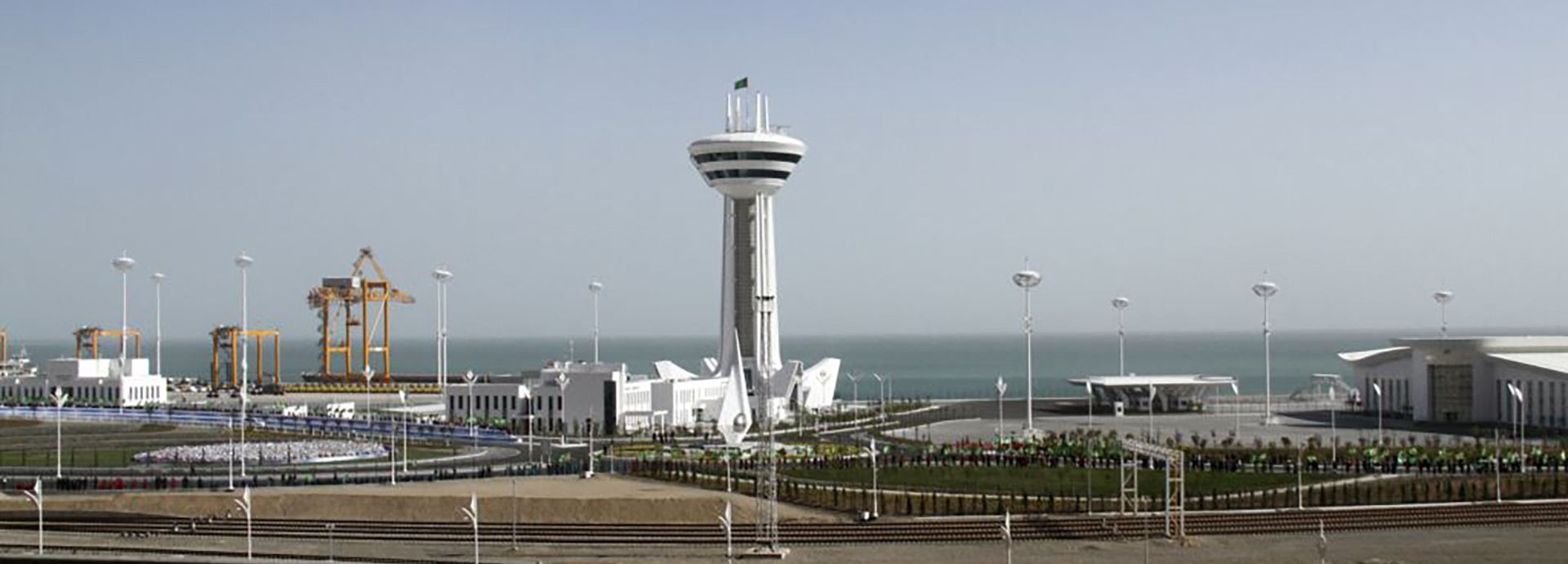
The port serves as a "sea gate", linking Central Asia to Europe by sea and serves as a major transit hub in the region. Due to its recent reconstruction, there is a need to implement Vessels Traffic Service and Terminal Operational System from scratch. Complicated political situation, logistics and paperwork; special services for underwater works and buoys locations planning, installation, maintenance.
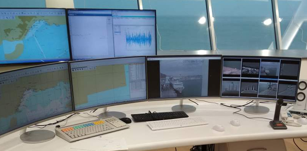
The suggested solutions include: a coastal site, offshore wave measurement station, 5 navigational buoys and a Control center, equipped with sensors, communication and IT equipment. The Control center houses a dual redundant radar with 21’ antenna, redundant AIS Base station, long & short-range CCTV cameras, 4 VHF/DSC base stations, VHF AM transceiver, weather station, MF/HF DSC receiver, MF/HF voice transceiver, Inmarsat-C system. The Wave station measures the direction, height, as well as the frequency (period) of the waves.
Terminal Operations System includes TOS SW Modules, i.e. Vessel Call Management, Agent & Customer services, Pilot & Tug operations, Managing commercial activities, Container Freight Station Operations, 3D Dock and Yard planning, Customs Operations, Gate in / Gate out operations, Warehouse operations, Job orders integrated with terminal handling equipment and devices, Cargo / Container / RORO Handling Operations. The systems support an integration with 3rd party software (such as accounting, EDI, RTLS, RMG, RTG, SSG, ISPS etc.)
Text????