There’s never been a better time to be an oceanographer or hydrologist, thanks to the transformative potential offered by the Surface Water and Ocean Topography (SWOT) mission. Its innovative technology represents a significant milestone in advancing our knowledge of the oceans, lakes and rivers that cover almost 71 percent of Earth’s surface.
For the first time, we will have two-dimensional high-resolution maps of surface water levels over ocean and inland waters. This will allow us to analyse everything, from ocean circulation currents and eddies, regional sea level fluctuations and freshwater supplies, to coastal processes, reservoirs, floodplains and wetlands. It’s not the final piece of the Earth Science jigsaw, but it is crucial.
We’ve never had a dedicated satellite focused on understanding surface water. SWOT will generate unprecedented data in quantity and quality, as well as spatial and time coverage.
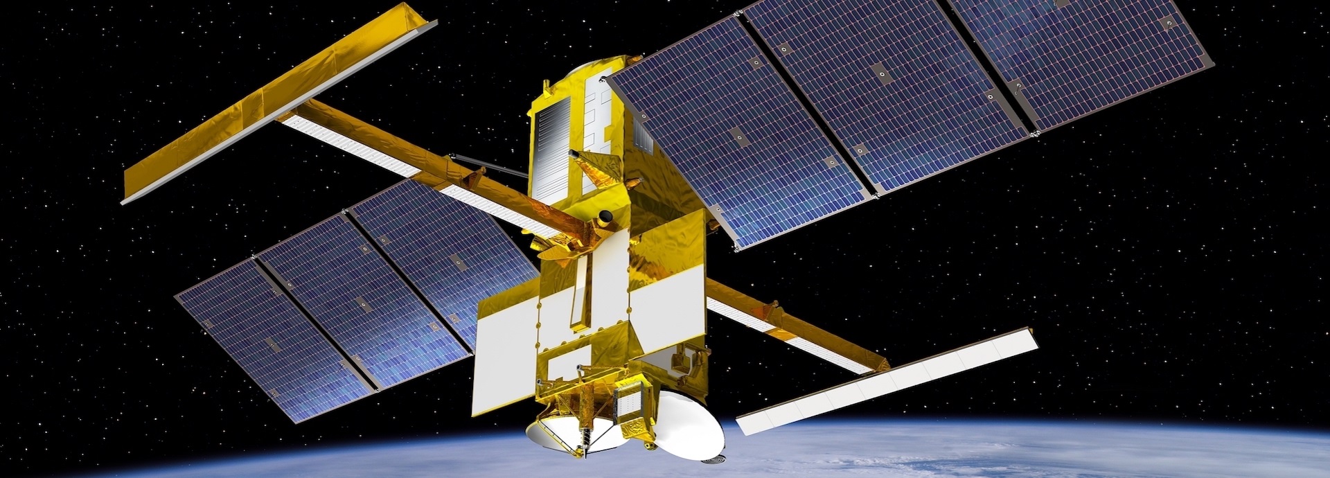
Launched in December 2022, just two years after the ocean-monitoring satellite Sentinel-6, the SWOT mission is a collaborative effort between NASA, the French space agency CNES and several other international partners. Paul Bates, a professor of hydrology at the University of Bristol, has been heavily involved in the project since its inception.
“We’ve never had a dedicated satellite focused on understanding surface water. SWOT will generate unprecedented data in quantity and quality, as well as spatial and time coverage. Before, we had to install, visit, and maintain gauges manually, so there are large parts of Africa, Asia, and Eurasia without any ground gauge information. That’s about to all change.”
Until now, measuring terrestrial surface water levels from space has primarily used satellite altimeter instruments, which have track spacings of about 50-300 kilometres and collect no data in between the tracks. Therefore, around a thousand of the world’s largest lakes and rivers have been measured, but that will soar to millions with SWOT. “Finland will be able to access an overwhelming amount of data on its thousands of lakes, transitioning from a data-poor to data-rich situation,” notes Bates.
By utilising this unprecedented amount of information on everything from water levels and flows to distribution and elevation, every country will have the possibility to improve the sustainable management and conservation of its freshwater resources. In addition, improved water management can contribute to economic development and resilience, reduce water scarcity and mitigate the risk of water-related conflicts.
Before any official data is shared, there is a three-month Calval (Calibration/Validation) period to ensure that SWOT’s measurements match those taken on the ground. During that initiation, the satellite is in a fast-sampling orbit, passing daily over the same locations that include a variety of river sizes and types, biomes and coastal and ocean areas.
Coincidentally, one of the few daily sampled estuaries is the Bristol Channel in Southeast England, which is on his doorstep: “We’re overseeing field campaigns and using airborne lidar to collect data as overpasses occur. Once the initiation is complete, I hope that SWOT will produce good river bathymetry maps and validate my computer models predicting areas at flood risk.”
SWOT will give us snapshot observations of the large and small ocean circulation that can be combined with our models, so we can understand how heat and carbon are being transferred from surface waters to the ocean’s depths, and the areas where it’s coming back up.
While hydrologists are looking at terrestrial surface water, Rosemary Morrow, an oceanographer at the Laboratory of Space, Geophysical and Oceanographic Studies and one of the science leads for the SWOT mission, is looking out at the ocean. “For oceanography, the mission's main objective is to measure ocean heights and their slopes to help discern currents and eddies as small as 20 kilometres across.”
Whether routing ships, laying a cable, undertaking search and rescue, tracking biomass or even where pollutants are carried, you need to know how ocean patterns are being stretched and strained. Morrow explains that SWOT will provide a two-dimensional image of how mesoscale eddies, known as the “weather” of the ocean, are positioned and in movement.
“Thirty years ago, when we started measuring, we were amazed that the ocean was full of eddies drifting westwards and interacting. While we built up a global picture of the large energetic eddies 100-200 kilometres in diameter, the regional seas, coastal areas and high latitudes have much smaller eddies, with most missed by the conventional measurements,” she adds.
An entire ocean of small eddies (20 kilometres across) will be tracked by SWOT, watching as they bump into each other and create vertical lifts of water moving up and down. Because of climate change, oceans absorb large amounts of heat and carbon, pumping these oceanic turbines directly into the interior.
Morrow says they know how these large-scale eddies are partially redistributing it, but a critical small-scale component still needs to be observed. “SWOT will give us snapshot observations of the large and small ocean circulation that can be combined with our models, so we can understand how heat and carbon are being transferred from surface waters to the ocean’s depths, and the areas where it’s coming back up.”
With climate change also driving sea level rise and over 90% of the global population living within 100 kilometres of the coast, the mission will observe the water exchange in coastal estuarine river systems.
“In the coastal and estuary areas is where the oceanography and hydrology communities come together,” highlights Morrow. “The estuarine coastal area is complex. It’s small scale, and events happen rapidly. Today, we only have sparse dynamical measurements, so SWOT will also be a game changer for that key area.”
Once every six weeks, you will get the top picks – the latest and the greatest pieces – from this Insights channel by email.