Every day we are presented with numbers, figures, and projections that tell us about the state of the climate and how we should expect it to change in the future. But where does this data come from, and how can it be used most effectively?
Getting the data we need, to learn what’s happening with the climate is no easy task, although given the proliferation of numbers used to advocate for climate action it may not seem that way.
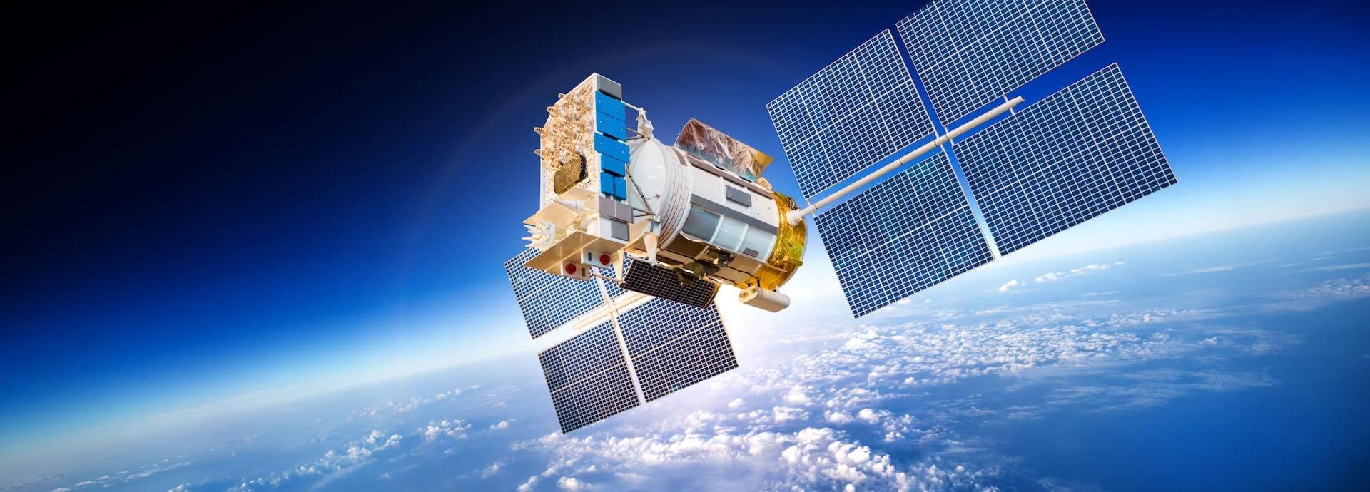
The better part of the information we have about climate-related changes to the planet comes from satellites that orbit far above earth’s atmosphere. These satellites track a wide range of climate-related data, such as sea-surface temperature and the rate of absorption of solar radiation by the earth as well as information about shrinking glaciers and eroding forests.
“Satellite data is widely used in climate change research, and observations are critical to complement models, which allow to better estimate current and near future impacts,” says Emilio Chuvieco, a professor at the Department of Geology, Geography and the Environment at the University of Alcala in Spain.
For example, satellite data was used to map the catastrophic floods that struck Germany, Belgium, and the Netherlands in July 2021.
Gunter Schreier, deputy director of the German Space Agency’s (DLR) Remote Sensing Data Centre, says the satellite data help show that such events are occurring more frequently than we think.
“In Germany we call it the ‘flood of the century’, but it’s now happening every other year or so. It’s not like if we have more satellites there won’t be climate change, but they’re essential for monitoring what is going on,” Schreier explains.
And the amount of data we now have at our disposal is truly mind-blowing.
Satellite data goes back to the 1970s, so Schreier and his colleagues around the world are able to look back over almost five decades of climate records. Schreier notes that satellites measure more than just temperature or air humidity. They also track things like forest cover, coastlines, and glaciers, which allow researchers and scientists to see the change in images and physical parameters.
“At least in our archive [at the DLR], which is one of the biggest in Europe, we have about 20-30 petabytes of data from the last decades,” Schreier says. (A petabyte is the unit of electronic data 1000 times larger than a terabyte).
According to Chuvieco, all space agencies around the world collect data related to climate change information, with the most active being NASA and ESA. Cooperation between the agencies is aided by the Committee on Earth Observation Satellites, or CEOS, and Global Climate Observing System, GCOS.
Schreier notes that there typically has been a lack of continuity between the data that various satellites collect. Weather satellites provide similar types of data, but to track and fight climate change, data related to changes in ocean surfaces and land cover, among others, was needed. This need for continuity is why the EU launched the Copernicus Programme. There are now eight Copernicus satellites (called Sentinels) that collect data for six main categories: land management, marine environment, atmosphere, emergency response, security and climate change.
“Thanks to Copernicus, we now have access to much more and much better-quality parameters that are extremely valuable for assessing the status of the environment, picking up on developing trends and enabling forecasts,” Schreier says.
But even more important than the quantity and quality of data, according to Schreier, is that the data is completely free and open. In his opinion, this is a precondition for effectively tackling climate change. This data can be used by academics, companies, and governments to create useful publications and reports on the changes of the observables within the six Copernicus categories.
Likewise, the ESA Climate Change Initiative that Chuvieco is involved with includes a wealth of publications associated with very diverse variables: atmospheric (GHG, ozone, clouds), oceanic (surface temperature, ocean colour) and land (glaciers, fire, land cover, soil moisture).
“Now there are 21 variables in the programme, and all datasets (plus algorithms and specifications) generated within this programme are publicly available through the CCI Data Portal,” Chuvieco says.
Data relevant to climate change isn’t only gathered from space. On the ground, researchers are collecting the information they need to tackle the climate crisis caused by, for example, the building sector. The built environment accounts for some 38% of global greenhouse gas emissions and harnessing the power of big data without leaving Earth’s orbit is also vital in this battle.
“Data about building energy performance, indoor environmental quality, operation and maintenance, CO2 emissions and so on is at the heart of evaluations on how to improve the building stock and what impact its transition has on climate change,” says Ulrich Filippi Oberegger, senior researcher at EURAC’s Institute for Renewable Energy.
Big data allows for the use of sophisticated techniques like machine learning to build more powerful and accurate models for better decision-making. This can lead to more ambitious but still realistic decarbonisation goals, as well as more detailed and feasible strategies to achieve these goals, Oberegger adds.
Unlike the data collected by the satellites, however, much of the data collected on earth is highly fragmented, involves a plethora of actors and is not freely available. A project Oberegger is leading called Built Hub aims to overcome this challenge by producing a roadmap, a community, and a platform for data collection around the building sector that would be open access for the stakeholders involved.
Whether in space or on the ground, cooperation and sharing data in a way that supports the network of stakeholders that can and want to fight climate change is key to ensuring this planet remains habitable for generations to come.
Once every six weeks, you will get the top picks – the latest and the greatest pieces – from this Insights channel by email.