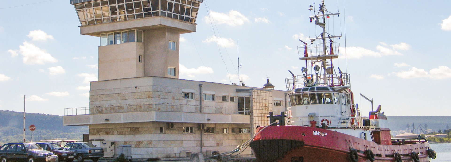
River Information Systems

For safe and secure navigation on inland waterways.

Overview

Our River Information Systems (RIS) ensure safe and secure navigation along the rivers and inland waterways. The systems provide comprehensive planning for ship traffic in coastal waters, thereby contributing to more efficient utilisation of inland water channels. These technologies are compliant with European standards and check all the specific requirements for River Information Services. The systems also support Vessel Tracking and Tracing Standard on Inland Navigation (VTT) via the vessel’s ECDIS (Electronic Chart Display and Information System).

Key benefits

  • Comprehensive ship traffic control information collected by sensors along the river.
  • Inland vessel tracking and tracing via ECDIS that meets the international inland navigation standards for VTT.
  • Situational awareness ensured by Control Center to the RIS Operator with traffic image.

Key features

  • River electronic charts displayed with inland modules.
  • Compliant with the European VTT standards and all the specific requirements for River Information Services.
  • Inland AIS (Automatic Identification System) messages provide advanced information ahead of vessel arrival.
  • Automatic Transmitter Identification System (ATIS) VHF helps identify vessels communicating with the VTS (Vessel Traffic Service).
  • On-route monitoring allows for navigational assistance for the vessel.
Service & maintenance
Additional Information
Components

River Information Systems - components

How it works

  • Sensor sites collect information along the river.
  • Control Center integrates sensor data and provides the RIS Operator with traffic image.

River Information Systems - process

Wärtsilä Voyage. Let's connect.