Your navigation journey starts with trusted data – Wärtsilä offers official electronic navigation charts (ENCs), digital publications, and advanced overlays such as AIO and MARPOL, designed to enhance compliance, voyage planning, and route safety.
You can choose delivery options from classical download to fully automated onboard delivery, according to your specific needs. Whether you use Wärtsilä Navi-Sailor or ECDIS systems from other manufacturers, our service ensures seamless compatibility.
Your navigation team can take advantage of a full suite of
Whether you’re preparing for a Port State Control inspection or optimising a global route, comprehensive navigation data will ensure that vessels stay compliant, informed, and operationally efficient. Wärtsilä Voyage data will be the basis for confident, compliant, and environmentally save navigation - voyage after voyage.
Take your maritime operations to the next level with our comprehensive suite of navigation solutions. Access essential nautical charts, publications, and services tailored to your specific needs.
Find the list of available navigational charts and publications that help vessels stay compliant, informed, and operationally efficient - voyage after voyage.
Ready to talk with sales? Contact us and let’s discuss which of these would be the right ones for your needs.
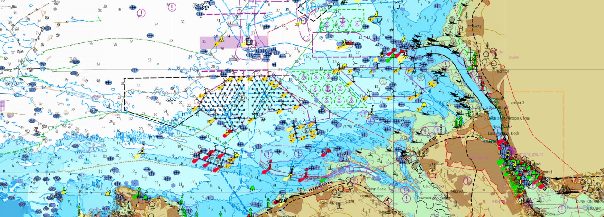
ADMIRALTY® Vector Chart Service (AVCS) delivers official, SOLAS-compliant S-57 ENCs sourced from recognized Hydrographic Offices worldwide. The global chart coverage is available in both S-63 ENC and SENC formats, ensuring compatibility with various ECDIS systems. Supports route-based licensing and global/fleet subscriptions. Weekly updates and convenient digital delivery ensure navigators have the latest information.
TADS is a nautical chart format developed by Wärtsilä in collaboration with the United Kingdom Hydrographic Office (UKHO) to deliver official global chart coverage in transfer-optimized form. TADS maintains full ENC compliance while reducing file size for faster, more efficient delivery.

Official Electronic Navigational Charts (ENC) data is the only format approved for use in an ECDIS system. It plays a huge role in the reliability and accuracy of your navigation system, so receiving chart data from your ECDIS manufacturer means you benefit in terms of both operation and support. This saves you time and improves safety.
Navi-Sailor ECDIS can unlock even more value when enriched with auxiliary data from Wärtsilä.
Stay compliant and well-informed with digital access to nautical publications, including:

Enhance situational awareness with the ADMIRALTY Information Overlay, which provides additional navigationally significant information, including possibility for overlaying T&P NtMs directly onto your ECDIS display. AIO is especially useful for digital-only bridge operations, helping mariners visualize updates that may not yet be reflected in ENCs.

Wärtsilä’s unique global chart collection derived from official and auxiliary sources such as paper charts and satellite imagery. These charts offer enhanced visualization and context for areas where official ENC coverage may be limited or overly generalised.

Wärtsilä offers NAVTEX information distribution of navigational warnings, weather alerts, and safety information. This service ensures that mariners have access to this critical information even in areas with limited connectivity.

All overlays are available via flexible fleet or vessel-based subscriptions, with seamless integration into Navi-Planner or compatible voyage planning software. Fully compatible with Wärtsilä’s Navi-Planner and FOS though may also supplement third-party bridge configurations.
Drawing on decades of in-house cartographic expertise, Wärtsilä offers in-house geo-spatial products that help reduce risks and fines while planning and executing the voyage:

Discover the benefits that you could get thanks to the reliable navigation solutions from Wärtsilä: contact us today to learn more about the support we can provide for your maritime operations.