From aerial photography to creating 3D-models, find out how Wärtsilä is using drones for more efficient and accurate data gathering in power plant planning and construction.
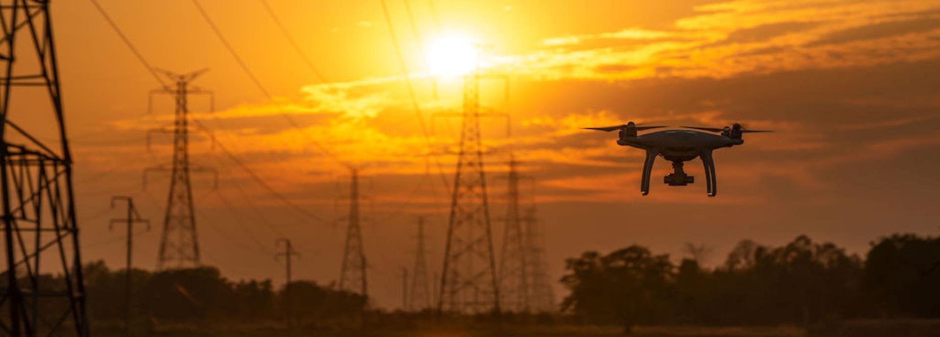
Drone technology has advanced tremendously over the past few years, and in a short time it has become an indispensable part of data gathering and surveying in many industries, including energy. For instance, Wärtsilä is gathering geospatial data for its power plant projects using drones.
What goes into this process? Typically, a drone equipped with high quality cameras is flown over power plant building sites or on existing plant sites and premises, capturing images of the area below it. A drone mapping flight session can be as short as ten to twenty minutes and doesn’t require much manpower, with just one drone pilot equipped with a console being all that is needed. Multiple aerial photos are then combined and by photogrammetry the 2D-pictures are turned into an informative 3D-model. The three-dimensional presentation helps designers conduct site surveys, plant construction, and figure out delivery timelines, more effectively.
Civil engineering manager Simon Nyman works on supporting Wärtsilä power plant projects, including site action. He had previously explored the possibilities of using laser scanning to survey building sites, but got the idea for photogrammetry and using drones from a student who was looking for a bachelor thesis subject.
An orthophotograph is an aerial photograph, which is geometrically corrected to have a uniform scale to follow a map projection and represents distances and surface areas, realistically. Drone-operated orthophotography, realised Nyman, could prove to be very useful in the early stage of engineering, opening up intriguing prospects.
“Sometimes the geometrical data we receive from customers is outdated or insufficient or in some cases, doesn’t exist. With drone gathered data we can get accurate information on geography and topography of the area, and this helps optimising things like plant layout and even volume calculation,” he explains.
Wärtsilä has already experimented using drones in more than 10 power plant projects around the world, from the Bahamas to Ireland, Curacao and Australia. Drone-led surveys have prompted a positive response from both customers and engineering partners, says Nyman, with value being added in all phases of the building project, from sales to site progress, down to exploring possible extensions for existing power plants. Having a 3D-model of the building site makes the construction phase run more smoothly, helping with project delivery.
“When we have accurate information on the topography and other features, we have a better starting point for optimising how the plant should be situated on the appointed lot,” explains Nyman. “This can save time and money for the customer, as unnecessary excavation can be prevented.”
That’s not all. Drones also enable data gathering on the weekly progress of a project. For example, in Australia, drones were used to survey the construction process right from the start, with pictures of the project being sent to Wärtsilä every week on Friday and the finished 3D-model in turn sent to the project team and engineers on Monday, helping them track current and plan future phases of construction. Having accurate information at their fingertips has helped Wärtsilä improve safety and quality planning of the power plant as well.
“The information which we can deliver helps keep the project on time and works as a quality inspection tool,” says Nyman. “Visualisation increases the overall understanding of the project and the data also helps if the plan needs to be changed during the building process. Developments can be tracked down week-by-week with the help of existing 3D-model pictures.”
Drone mapping is also used in providing information on the area surrounding a power plant project as well. This helps factor in possible disruptions like noise levels which might negatively impact other buildings, nearby. Going ahead, Nyman sees drones being used even more extensively for site research, with the customer being provided a more realistic model of what the delivered plant will look like, together with all surroundings including existing buildings and units, once finished.
“Drone technology is already pretty much advanced enough for our purposes. We have already experimented using thermal vision cameras for drones, allowing for more cases for this fascinating technology,” says Nyman.
While drones have the potential to revolutionise parts of the power plant project execution, there are limits to what the technology can achieve currently. Drones cannot be used in extremely cold climates and can be affected by heavy winds. Thick forest cover can also impede its progress with the drone’s vision being impaired by foliage.
There are regulatory hurdles to consider as well, with countries, who have still not formulated legislation to govern drone usage, banning their use altogether until they have had time to review their laws.
That said, drones have become an indispensable feature of the construction industry, and thanks to Wärtsilä, in the energy sector as well. With drone technology constantly improving, the next few years could see drones being put to even more uses including power plant inspections and inspecting areas that are hazardous to humans.